El_Freddo
Forum Member
- Joined
- Aug 11, 2008
- Messages
- 2,399
- Location
- Bridgewater, Vic
- Car Year
- 1988, 1990
- Car Model
- EJ22'd L series; Targa Brumby
- Transmission
- Locking FT4wd 5spd Manual, 4.111:1 diff w 1.59:1 low range & front OBX LSD ;)
Bennie’s September 2018 Trip
It’s about time I got this sorted, a few details have slipped and I’m not so good with the names of ppl I just met. Apologies to these ppl I met on the trip, I hope I haven’t offended you and I hope we cross paths on another trip soon!
So before we really begin, my planned trip was delayed for two days due to prep plans not working in our favour. By the time we’d packed it was late enough to say it’s not worth the effort to leave now as we’d then have to set up camp a few hours out of Benders. So we decided to get up super early and roll out of town in the wee wee hours of Thursday the 27th of Sept.
Our aim was to visit the top North Westerly point of Vic and McCabe’s corner where NSW, SA and VIC borders all meet. Then head south along the border track from the very tip of Vic, into the Murray Sunset NP middle section before meeting up at Pinnaroo on Friday with a group of fellow subi nuts from a facebook group that we decided to hook up with for the border track run in the Ngarkat NP on the SA side of the border.
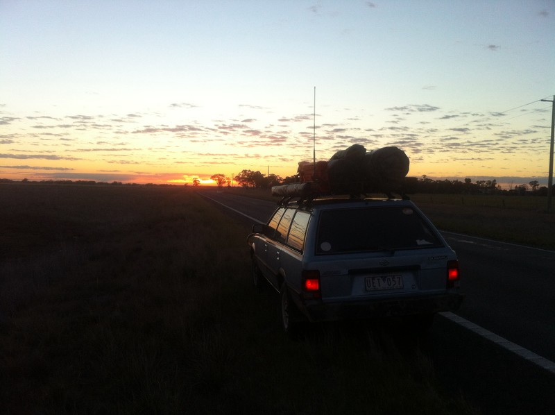
Day 1 - Thursday, 4am we were up, packed those last few bits and headed off at about 4:30am. Fuelled everything up and off we went, headed for Mildura for our next fuel stop before we hit the desert. We had a good run and to set the trip off we swung around to snap the sunrise, about an hour out of Ouyen from memory:
We refuelled in Mildura, added a few bits to the kit that we forgot but worked out at breakfast (north of Ouyen beside the rail line).
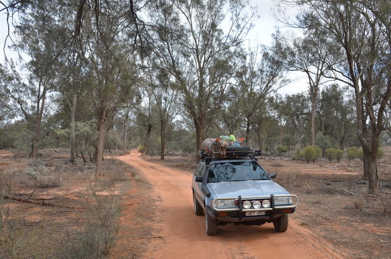
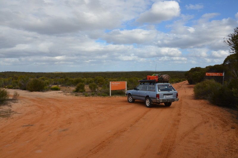
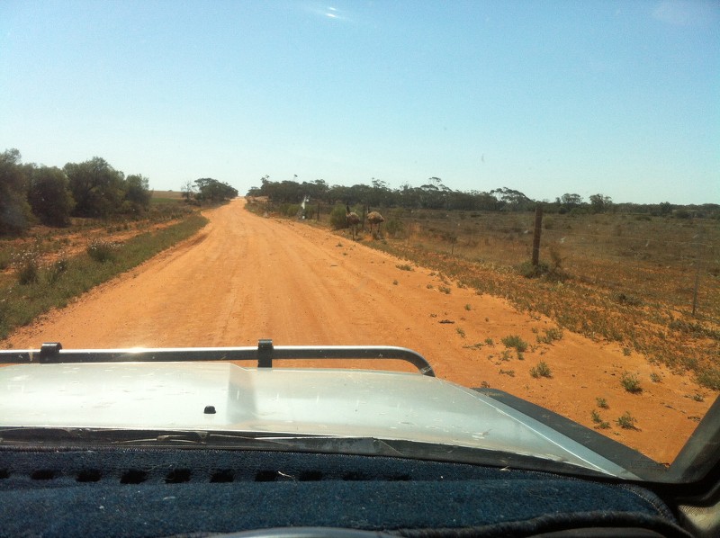
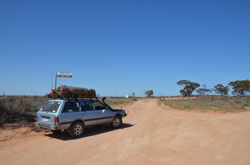
Once on the border, we turned right off the Sturt Hwy and headed north towards the corners of the three states. We saw a couple of these along the way:
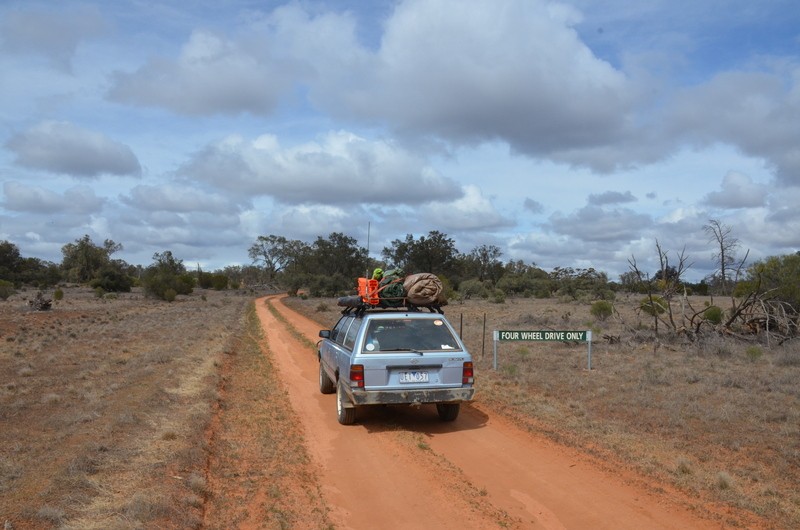
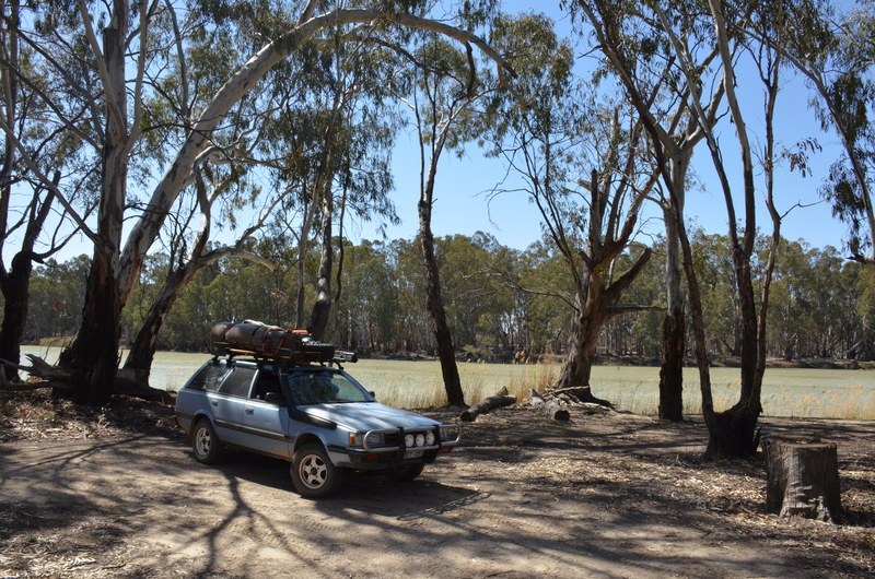
Headed for McCabe’s corner first, this is as close as we could get. I’ve been told it’s about 4km from the actual point:
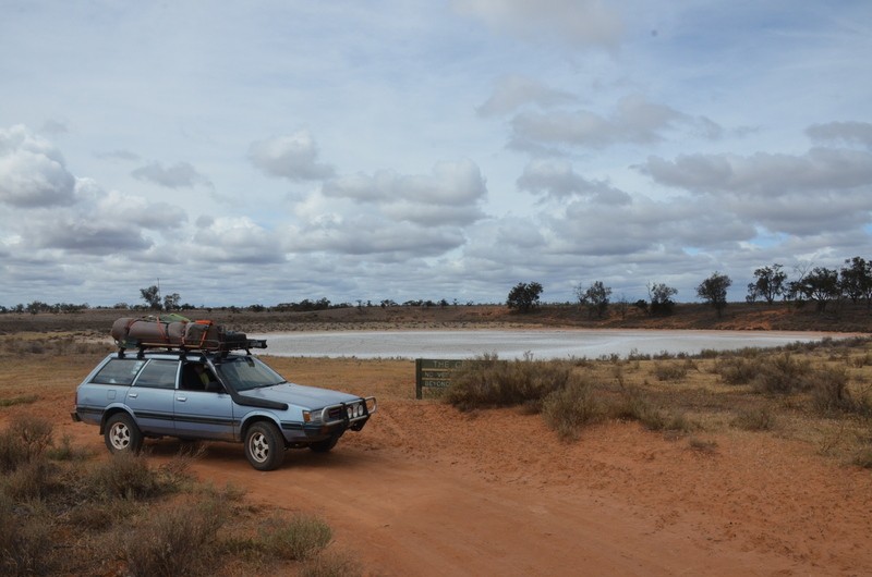
We then turned around and tried for the Vic Tip. This is as far north as we could get:
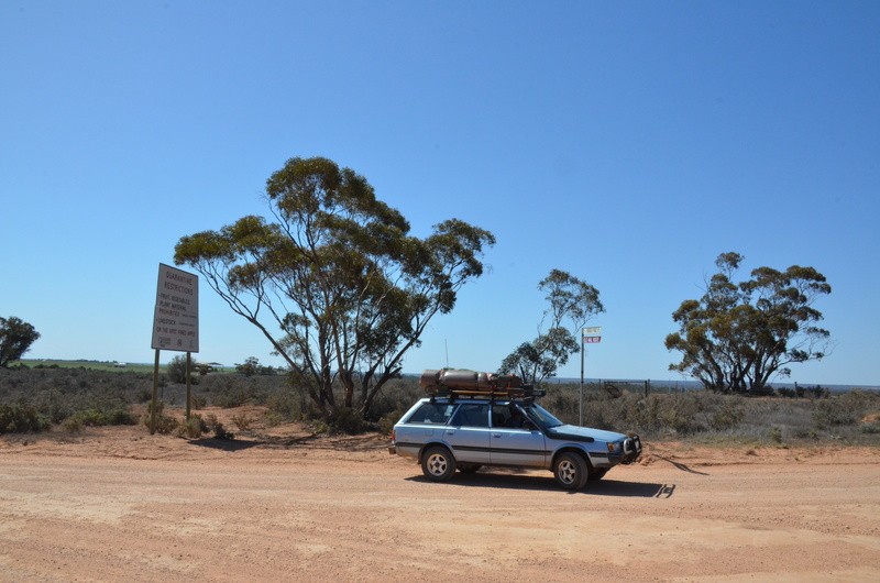
We did our usual country thing that we grew up with – stop and ask a local! The farmer didn’t seem very welcoming at first but after an introduction and what we were doing he gave us some information that was super handy but not so great for what we were trying to achieve.
Firstly, McCabe’s corner is in the middle of the River. This is the point where NSW/Vic/SA meet. The land on the Vic side is now owned by someone who doesn’t want the public visiting and they’ve effectively shut off any access tracks to the area. So it’s by boat access only now. I’ve read on the web that there’s a monument, I believe on the NSW side of the river.
The tip of Vic was another story. No actual tracks to get there, even from the SA side. But it could be accessed by following the fence line “bush bashing”. The fella we were talking to didn’t go into much detail about this option as it would’ve been on his land – or his neighbours… We opted to turn around and head south, aiming for the Shearer’s Quarters for our camp for the night. It could’ve been an ambitious trek depending on what lay ahead. We had planned to camp on the Murray at one of these places but that changed.
On our return trip south from where we’d come we stopped for a few highlights along the way, first, this survey marker:
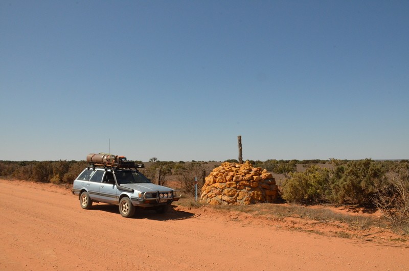
^ Someone did a good job on that one! Even the official “government peg” beside it says that the marker is 3m to the south of the peg!
Then this interesting kink – not many people seem to know that the Vic/SA border is not actually straight. Or that there’s about an 11km section of Murray River where SA is on the northern banks of the river with Vic on the southern side… So this kink in the border, Looking south:
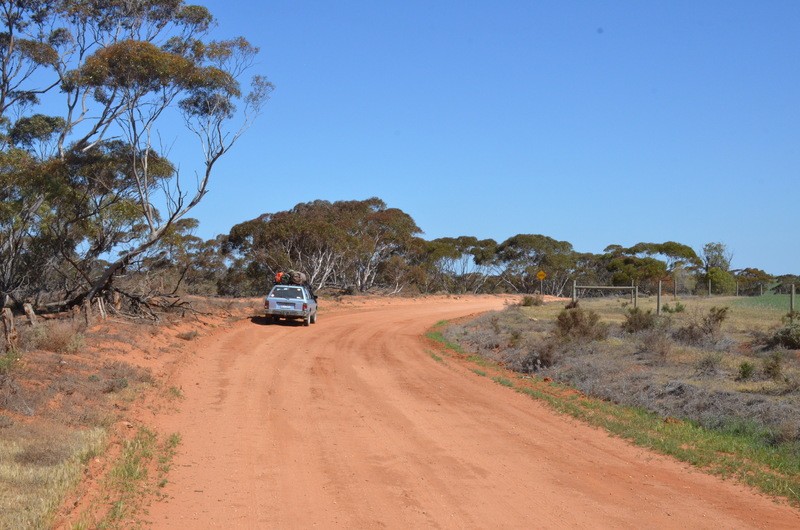
Looking north east-ish:
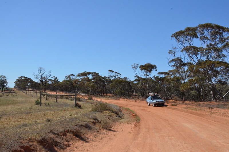
^ Behind me there’s another corresponding corner that re-aligns with the border, it’s about 150-200m further along.
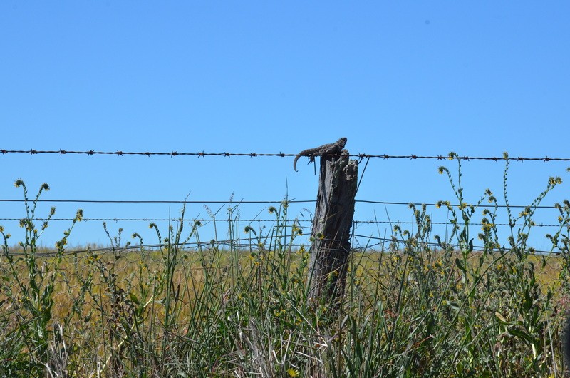
When we first hit this section of track we saw Shingle-Back after Shingle-Back. I snapped this little one, then promised the crew that I’d get a pic of them with the next one (that we didn’t see until the next day – Murphy’s Law!).
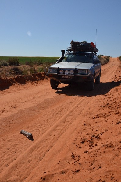
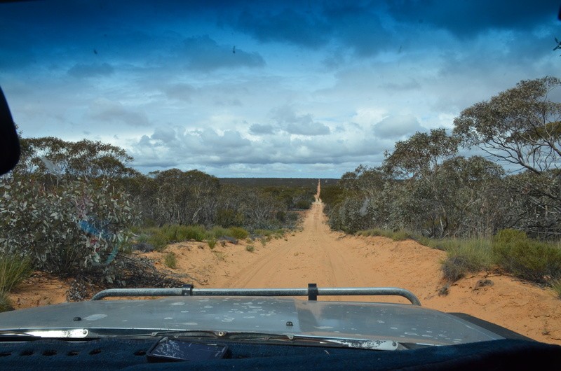
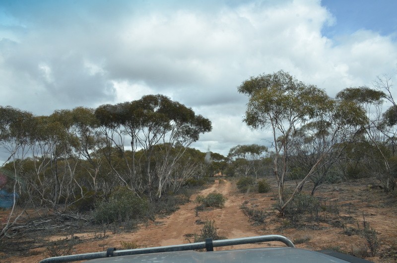
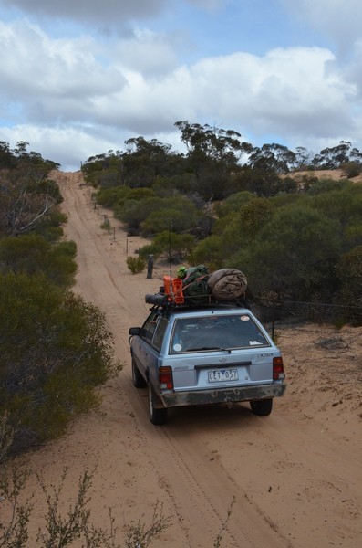
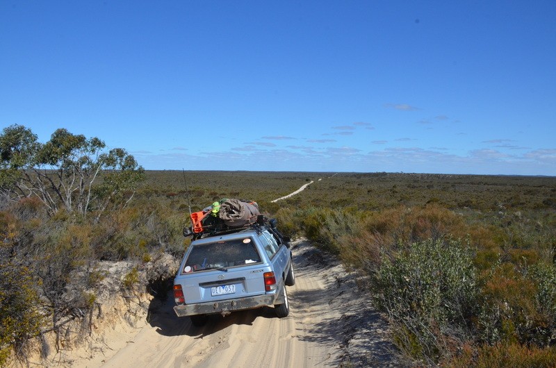
We crossed the Sturt Hwy and pulled up at the start of the next section so we couldn’t see the main road and had some lunch. While we were doing this a police car (territory) drove past on the main section. That was interesting. Next thing we knew he was on our side track in front of us, didn’t hear him until he was right on us. We had a chat, he complemented our setup for desert travel and he told us of a few 2wd vehicle rescues he’s been involved with – he put them down to the GPS showing them into the desert without any warnings of the terrain or requirements for self sufficiency out here. Off he went and so did we. This is basically what we saw for the majority of the rest of the day until we swung in an easterly direction to get the to Shearer’s Quarters:
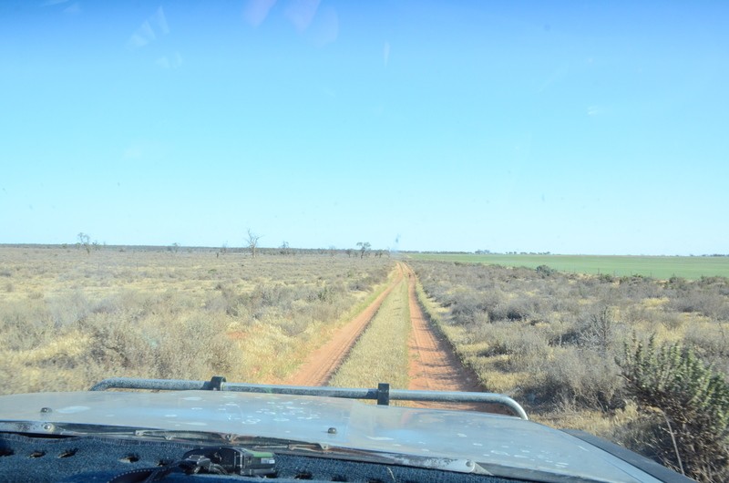
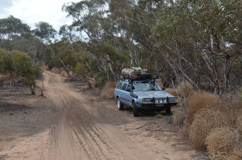
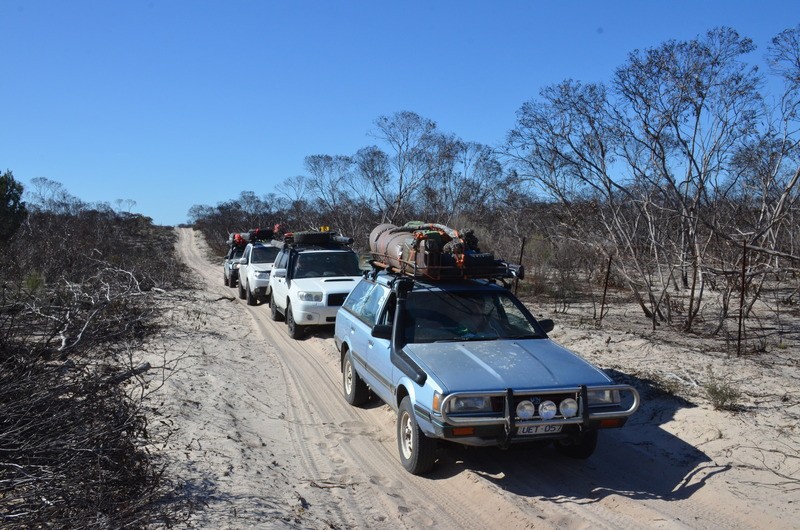
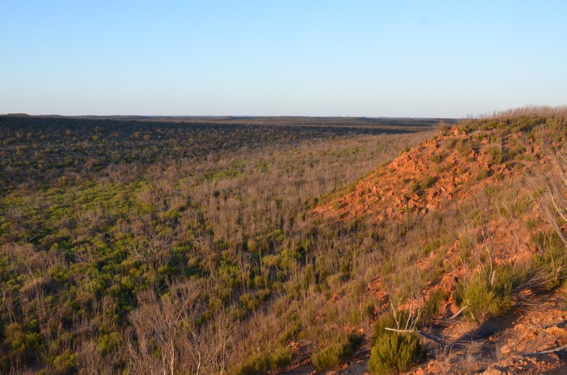
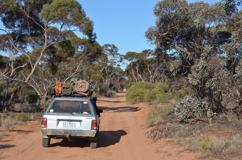
There were a number of sections that would be quite boggy in winter, and a couple of little climbs that could be done too. Generally it was pretty easy going. Once headed east the vegetation changed to more Mallee Gum and we encountered some “fun” corrugations in the road:
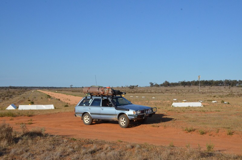
This was an interesting “find” – an airstrip in the middle of nowhere!
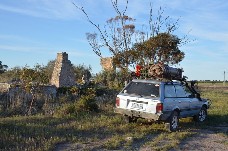
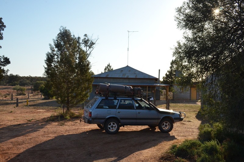
As we neared the Shearer’s Quarters, we saw a couple of wild goats that roam this area, then we were there. Not the greatest pic as I couldn’t get Ruby Scoo in the best position due to the vegetation out the front of the place. There’s a big 6 (maybe) vehicle shed off to the right of the image:
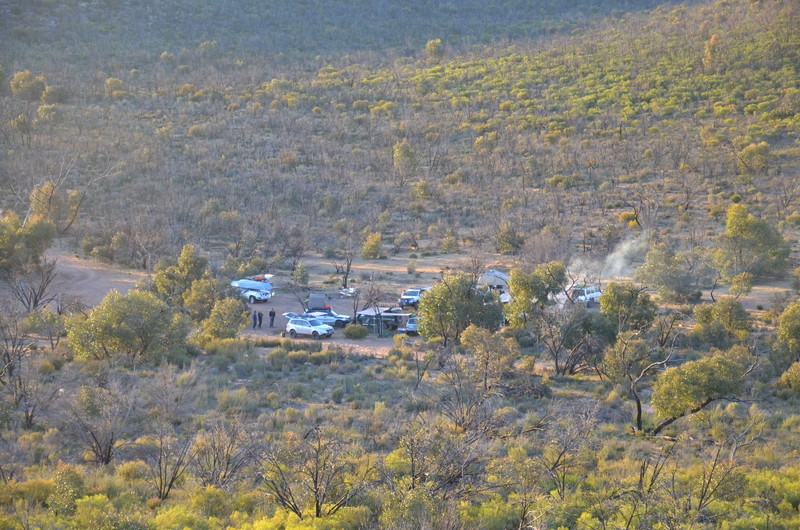
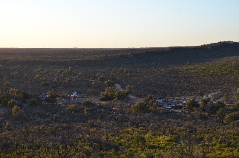
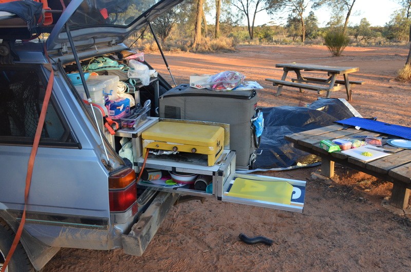
The campground is about 100m further up the track in some lovely native pines or Sheoak. I’m not totally up with the different species but they’re a cool native tree none the less. At dinner time the new cargo setup was working its magic! Unfortunately there was a massive stuff-up with my Bunnings Special Order and the slides for the kitchen box didn’t arrive, so it’s perched in place in this image – but still demonstrated that the design worked well for us:
.
It’s about time I got this sorted, a few details have slipped and I’m not so good with the names of ppl I just met. Apologies to these ppl I met on the trip, I hope I haven’t offended you and I hope we cross paths on another trip soon!
So before we really begin, my planned trip was delayed for two days due to prep plans not working in our favour. By the time we’d packed it was late enough to say it’s not worth the effort to leave now as we’d then have to set up camp a few hours out of Benders. So we decided to get up super early and roll out of town in the wee wee hours of Thursday the 27th of Sept.
Our aim was to visit the top North Westerly point of Vic and McCabe’s corner where NSW, SA and VIC borders all meet. Then head south along the border track from the very tip of Vic, into the Murray Sunset NP middle section before meeting up at Pinnaroo on Friday with a group of fellow subi nuts from a facebook group that we decided to hook up with for the border track run in the Ngarkat NP on the SA side of the border.
Day 1 - Thursday, 4am we were up, packed those last few bits and headed off at about 4:30am. Fuelled everything up and off we went, headed for Mildura for our next fuel stop before we hit the desert. We had a good run and to set the trip off we swung around to snap the sunrise, about an hour out of Ouyen from memory:

We refuelled in Mildura, added a few bits to the kit that we forgot but worked out at breakfast (north of Ouyen beside the rail line).
Once on the border, we turned right off the Sturt Hwy and headed north towards the corners of the three states. We saw a couple of these along the way:

Headed for McCabe’s corner first, this is as close as we could get. I’ve been told it’s about 4km from the actual point:

We then turned around and tried for the Vic Tip. This is as far north as we could get:


We did our usual country thing that we grew up with – stop and ask a local! The farmer didn’t seem very welcoming at first but after an introduction and what we were doing he gave us some information that was super handy but not so great for what we were trying to achieve.
Firstly, McCabe’s corner is in the middle of the River. This is the point where NSW/Vic/SA meet. The land on the Vic side is now owned by someone who doesn’t want the public visiting and they’ve effectively shut off any access tracks to the area. So it’s by boat access only now. I’ve read on the web that there’s a monument, I believe on the NSW side of the river.
The tip of Vic was another story. No actual tracks to get there, even from the SA side. But it could be accessed by following the fence line “bush bashing”. The fella we were talking to didn’t go into much detail about this option as it would’ve been on his land – or his neighbours… We opted to turn around and head south, aiming for the Shearer’s Quarters for our camp for the night. It could’ve been an ambitious trek depending on what lay ahead. We had planned to camp on the Murray at one of these places but that changed.
On our return trip south from where we’d come we stopped for a few highlights along the way, first, this survey marker:

^ Someone did a good job on that one! Even the official “government peg” beside it says that the marker is 3m to the south of the peg!
Then this interesting kink – not many people seem to know that the Vic/SA border is not actually straight. Or that there’s about an 11km section of Murray River where SA is on the northern banks of the river with Vic on the southern side… So this kink in the border, Looking south:

Looking north east-ish:

^ Behind me there’s another corresponding corner that re-aligns with the border, it’s about 150-200m further along.
When we first hit this section of track we saw Shingle-Back after Shingle-Back. I snapped this little one, then promised the crew that I’d get a pic of them with the next one (that we didn’t see until the next day – Murphy’s Law!).

We crossed the Sturt Hwy and pulled up at the start of the next section so we couldn’t see the main road and had some lunch. While we were doing this a police car (territory) drove past on the main section. That was interesting. Next thing we knew he was on our side track in front of us, didn’t hear him until he was right on us. We had a chat, he complemented our setup for desert travel and he told us of a few 2wd vehicle rescues he’s been involved with – he put them down to the GPS showing them into the desert without any warnings of the terrain or requirements for self sufficiency out here. Off he went and so did we. This is basically what we saw for the majority of the rest of the day until we swung in an easterly direction to get the to Shearer’s Quarters:

There were a number of sections that would be quite boggy in winter, and a couple of little climbs that could be done too. Generally it was pretty easy going. Once headed east the vegetation changed to more Mallee Gum and we encountered some “fun” corrugations in the road:

This was an interesting “find” – an airstrip in the middle of nowhere!

As we neared the Shearer’s Quarters, we saw a couple of wild goats that roam this area, then we were there. Not the greatest pic as I couldn’t get Ruby Scoo in the best position due to the vegetation out the front of the place. There’s a big 6 (maybe) vehicle shed off to the right of the image:

The campground is about 100m further up the track in some lovely native pines or Sheoak. I’m not totally up with the different species but they’re a cool native tree none the less. At dinner time the new cargo setup was working its magic! Unfortunately there was a massive stuff-up with my Bunnings Special Order and the slides for the kitchen box didn’t arrive, so it’s perched in place in this image – but still demonstrated that the design worked well for us:

.


