
Rut Ro
Forum Member
Decided to take a quick little trip to an area about 1.5 hours from where I live here in Denver, Colorado. The name is Lost Creek. It is in an area that had a massive wildfire hit it back in 2002. Burned a total of 138,114 acres and forced an evacuation of 5340 people along with 133 lost homes. The area is beautiful during the winter but its pretty much dry now.
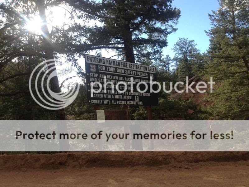
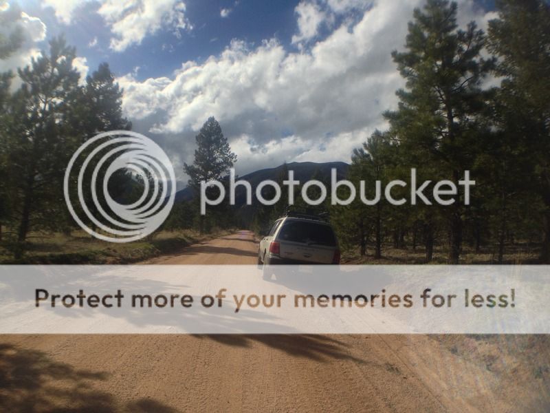
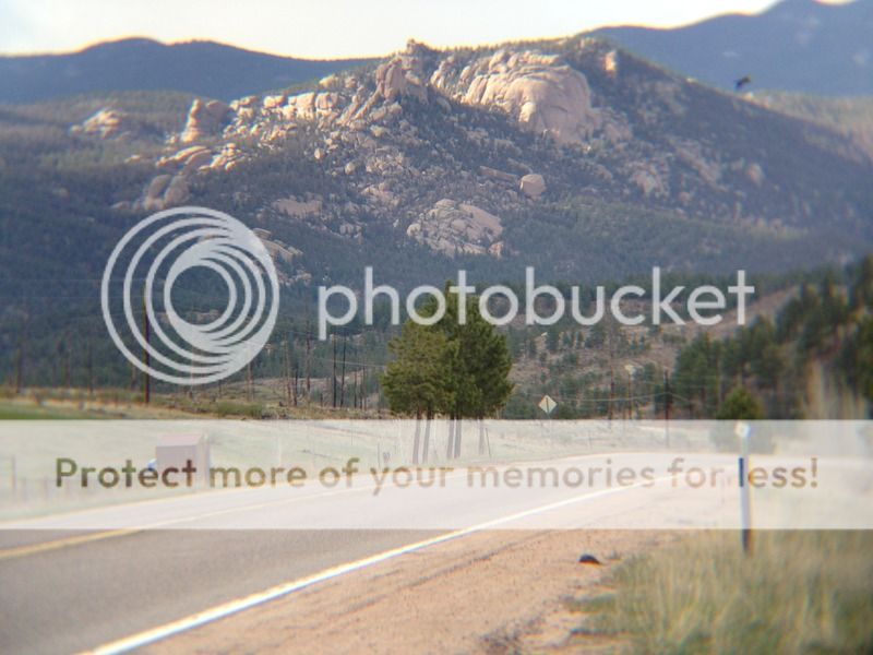
A little stopping area on the way in.

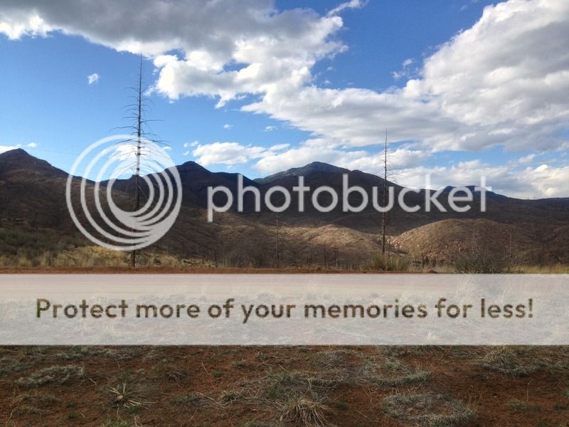
You can see some of the burn area in this photo. Took multiple fire agencys to contain the fire. Around 16 days to fully contain the inferno
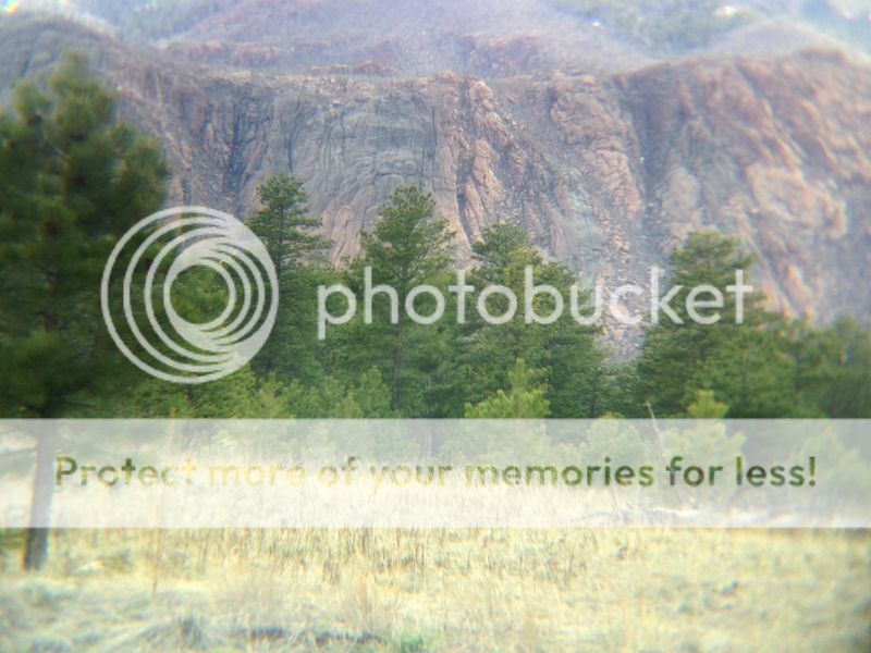
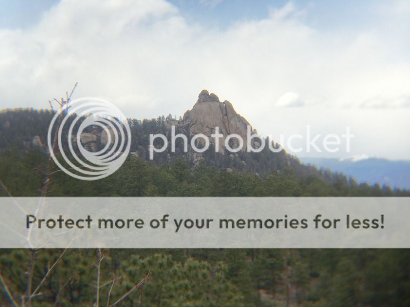
Im wondering if there is a route listed for this rock face. I do rock climb once in a blue moon.
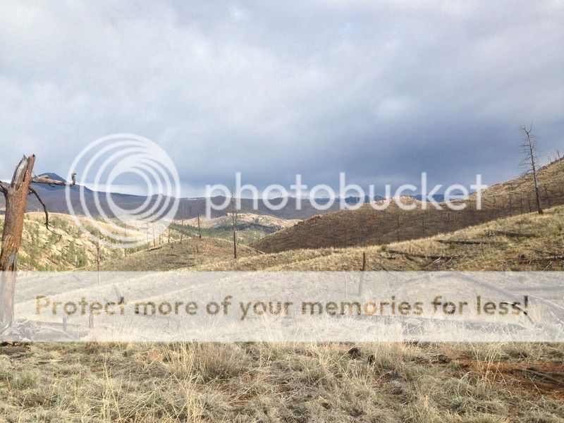
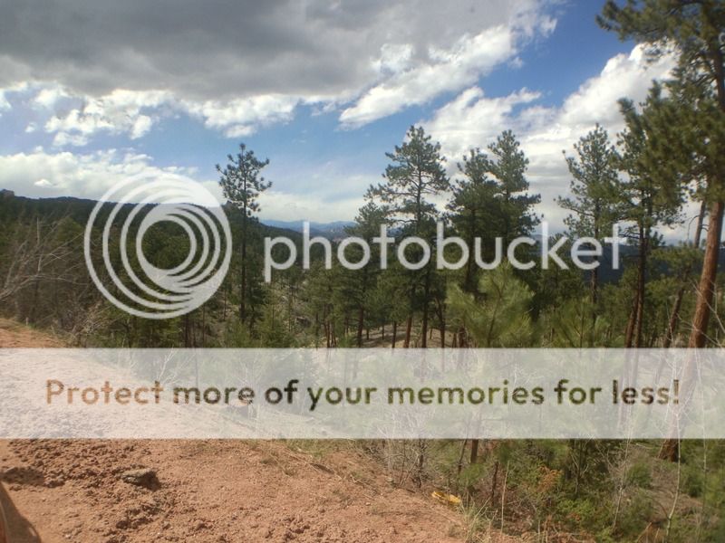
There are several routes that lead to various trail heads. This is the road that leads to Wigwam.
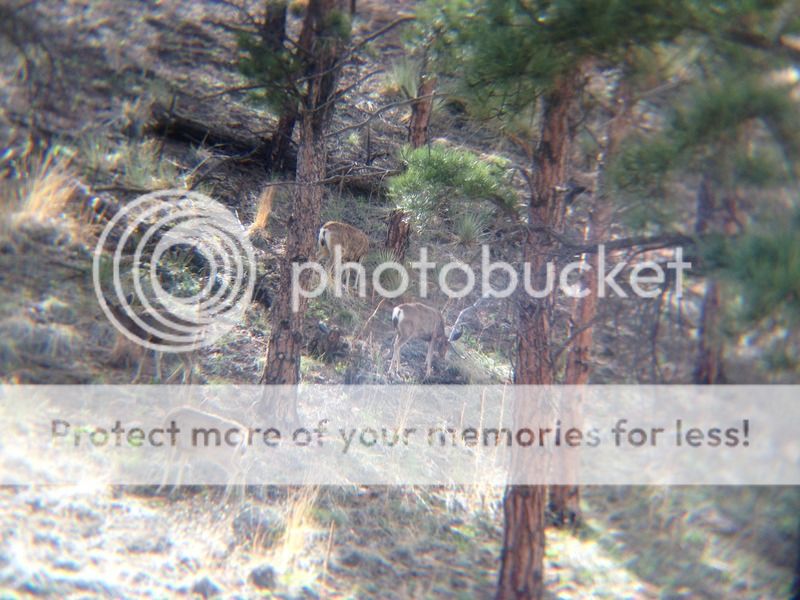
Had some locals grazing on the foliage.
This rock face was probably 4 miles away. Took it with the telescopic lens that came in the kit
Need some vinyl sporting off road subarus in this pic lol

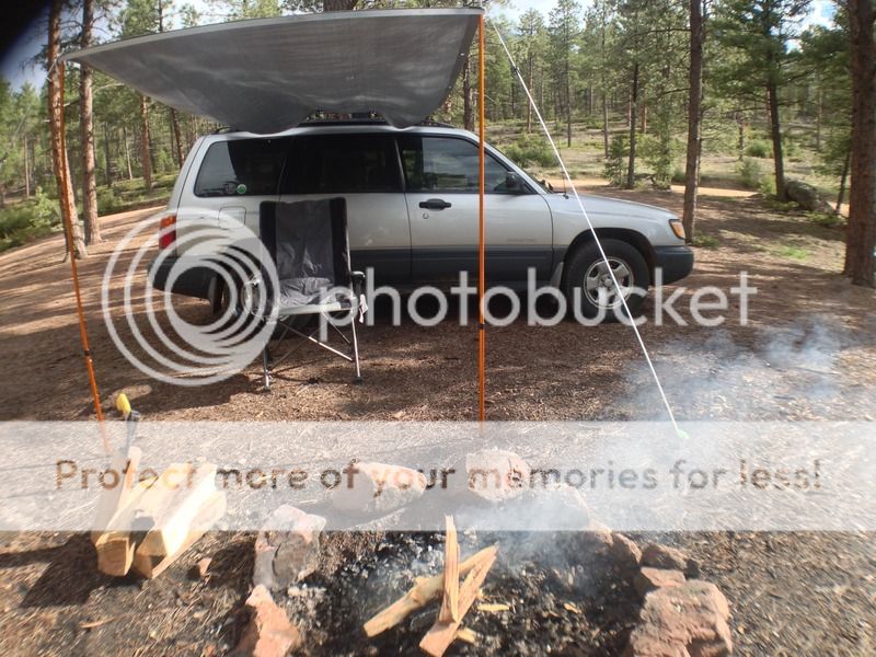
There are plenty of spots to stop and do some camping. Self made awning in this one.

Custom install of the Rough Country LED spots in the grill. 2x2 floods.


The trip was fun. Now I know of a couple new trail heads to hike in when I want to do a little backpacking trip. Thanks for looking.

A little stopping area on the way in.

You can see some of the burn area in this photo. Took multiple fire agencys to contain the fire. Around 16 days to fully contain the inferno


Im wondering if there is a route listed for this rock face. I do rock climb once in a blue moon.

There are several routes that lead to various trail heads. This is the road that leads to Wigwam.

Had some locals grazing on the foliage.

This rock face was probably 4 miles away. Took it with the telescopic lens that came in the kit


Need some vinyl sporting off road subarus in this pic lol


There are plenty of spots to stop and do some camping. Self made awning in this one.


Custom install of the Rough Country LED spots in the grill. 2x2 floods.


The trip was fun. Now I know of a couple new trail heads to hike in when I want to do a little backpacking trip. Thanks for looking.