subaru-offroad
Forum Member
How to find off road paths
Finding an off road path is sometimes a challenging event. You must find a path that your car can successfully navigate but have fun off road at the same time. Most paths a wrx can navigate, but you will need to take your time if it is rutted.
I use Google Earth to find paths. Here in Florida, paths are bright white/ tan colored and stick out in satalite imagery. However, by you paths might not be as easily identified. Just keep looking!

When finding paths, never trespass. Trespassing can get you shot, arrested, and fined. Using a GPS to help find roads this will help you identify private from public roads. Your GPS unit is the first line of defense for "What are you doing here?" should the question arise.
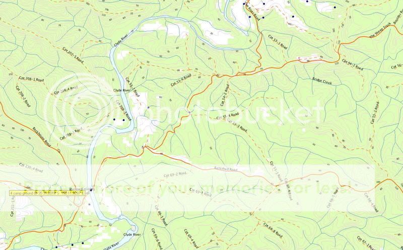
Second, get the county GIS report. These can be downloaded via PDF for your local county, and is usually part of the city planning department. If you can't download it, all counties carry this as public data and upon request they must furnish documents. This GIS report has all of the public roads mapped out, print it and bring it with you.
I have not been harassed yet for trespassing because I make sure I use only county roads according to GPS & GIS information. If I get pulled over, I have documentation to prove I was not trespassing.
Finding an off road path is sometimes a challenging event. You must find a path that your car can successfully navigate but have fun off road at the same time. Most paths a wrx can navigate, but you will need to take your time if it is rutted.
I use Google Earth to find paths. Here in Florida, paths are bright white/ tan colored and stick out in satalite imagery. However, by you paths might not be as easily identified. Just keep looking!
When finding paths, never trespass. Trespassing can get you shot, arrested, and fined. Using a GPS to help find roads this will help you identify private from public roads. Your GPS unit is the first line of defense for "What are you doing here?" should the question arise.
Second, get the county GIS report. These can be downloaded via PDF for your local county, and is usually part of the city planning department. If you can't download it, all counties carry this as public data and upon request they must furnish documents. This GIS report has all of the public roads mapped out, print it and bring it with you.
I have not been harassed yet for trespassing because I make sure I use only county roads according to GPS & GIS information. If I get pulled over, I have documentation to prove I was not trespassing.


