Dulagarl
Forum Member
- Joined
- Aug 24, 2010
- Messages
- 972
- Location
- Canberra ACT
- Car Year
- 2000
- Car Model
- EZ30R Forester
- Transmission
- Dual range manual
Melbourne to Esperance: March / April 2011
Well, it’s been some time since I returned from this trip, so here is the first installment of the long awaited trip report / journal.
This trip was a long time in the making. Many years ago, I had the pleasure of meeting Doc Reynolds and working with him on industrial relations matters affecting Aboriginal communities in Western Australia. This working relationship lasted a number of years, and saw many thousands of kilometres travelled by air and land, in many indigenous nations in Western Australia. Doc has always been extremely generous with sharing his knowledge with me, and I have been fortunate to learn much as a result.
Throughout this process, I never got to spend any time around where Doc lives and now works in Esperance, although many stories he has told me increased my appetite to learn about the place.
I rang Doc two years ago, not having spoken to him for quite a while. By chance he was in Melbourne at the time with his wife Robyne, attending a tourism expo on behalf of their business Kepa Kurl.
https://www.kepakurl.com.au/
We caught up for dinner, and I promised to come and visit them in Esperance the following March. Soon thereafter I was diagnosed as in need of spinal fusion surgery, so that made the trip out of the question that Autumn. I underwent surgery in July, and during recovery resolved to get over to Esperance the following autumn.
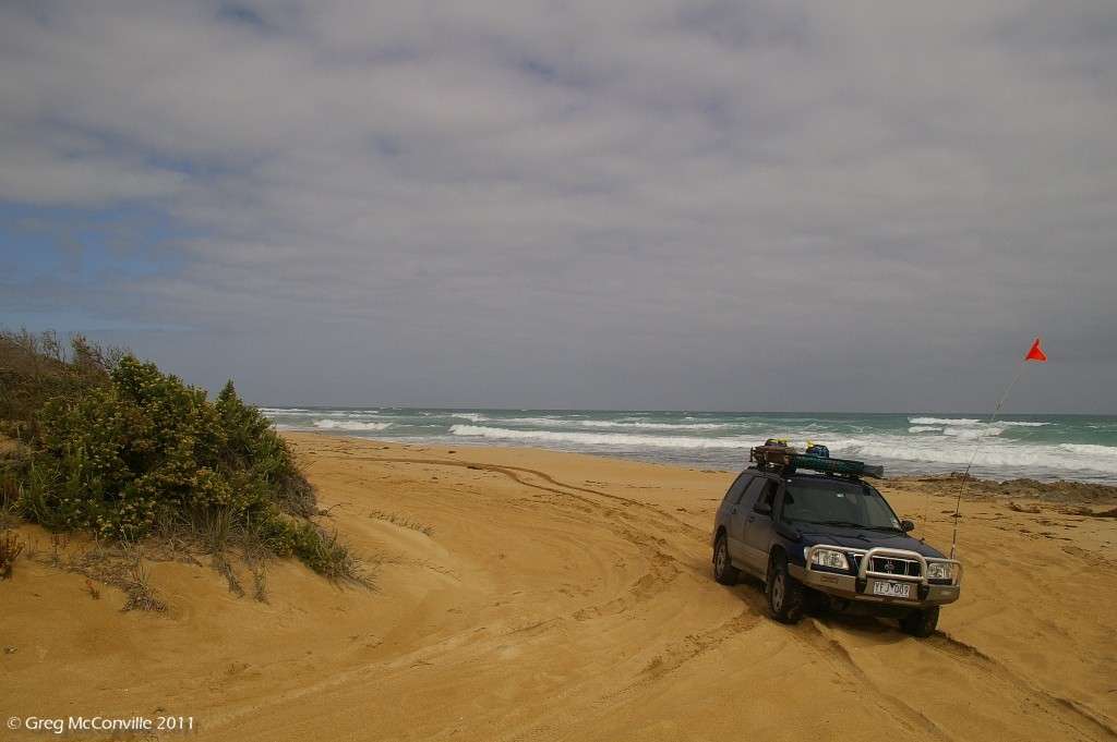
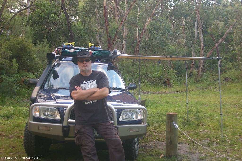
So, preparations started, and were in full swing when SKT put his heavily modified Subaru Forester on the market. I had up to that point planned to make some modifications to the red Subaru forester known as Djulpan (Gumatj word which means "seven sisters" (constellation). Also known as Pleiades in the North Hemisphere, and in Japan as "Su-baru". hence the logo on the front of any Subaru), but given that SKT had done the hard work, and a bit more by adding an EZ30r H6 motor, I made the trip to Queensland to test drive it and I bought it.
The story of me and the H6 Forester is a work in progress in this thread on offroad subarus.com
https://offroadsubarus.com/showthread.php?t=2401
The engine transplant thread is also worth a read...
https://www.ausubaru.com/forum/showthread.php?t=16564
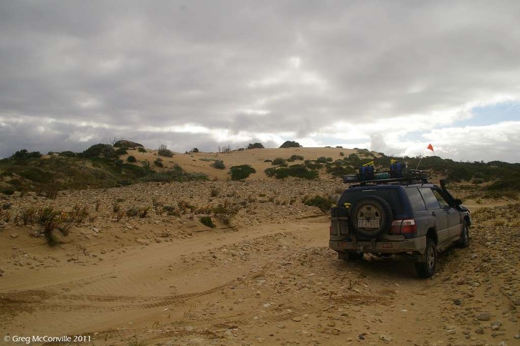
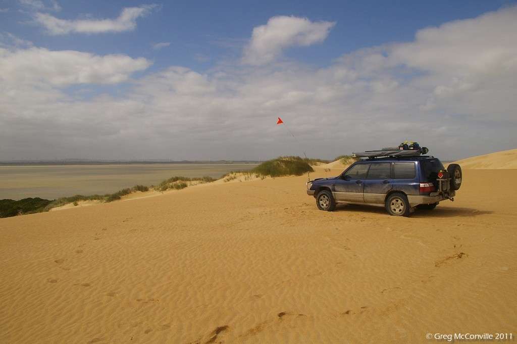
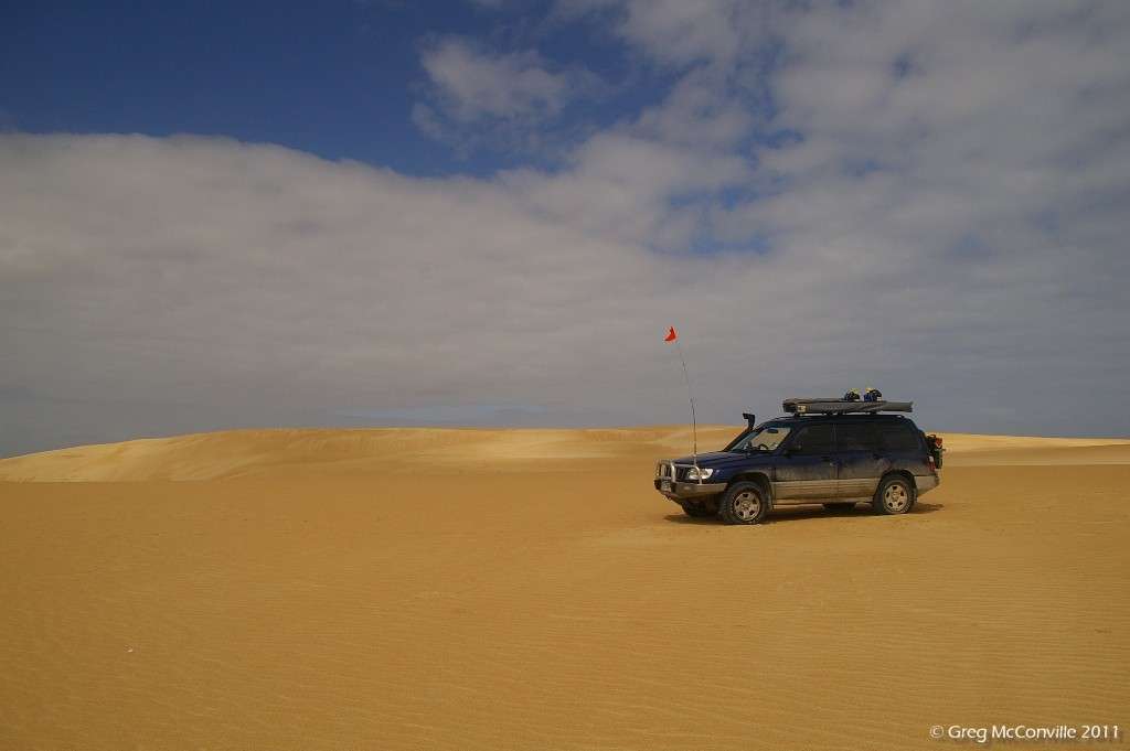
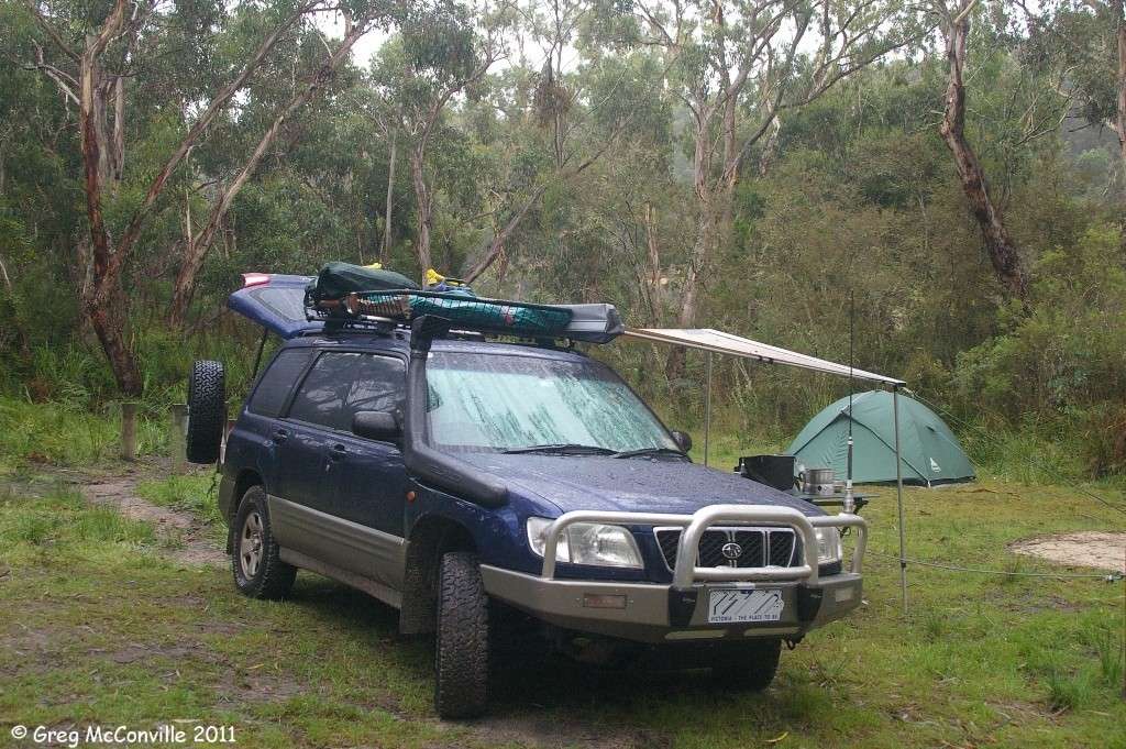
So, it was time to load the vehicle, and this process started on the 20th of March 2011, with the addition of 55 litres of water, and storage for 40 litres of fuel (20 litres on the Jerry can carrier, and 2 x 10 litres on t the roof rack). Hand winch, winch cable, bull bag, jack plate, compressor, snatch ropes, tree protectors, D shackles, axe, saw, replacement globes, hoses and belts, tools, computer, GPS, MP3 player, telescope end fittings, camera gear, 2 cases of beer, 2 cases of wine, clothes, fridge, second battery, food and clothing and probably a lot of other **** I can’t remember right now.
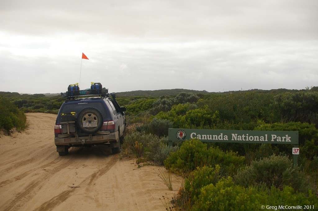
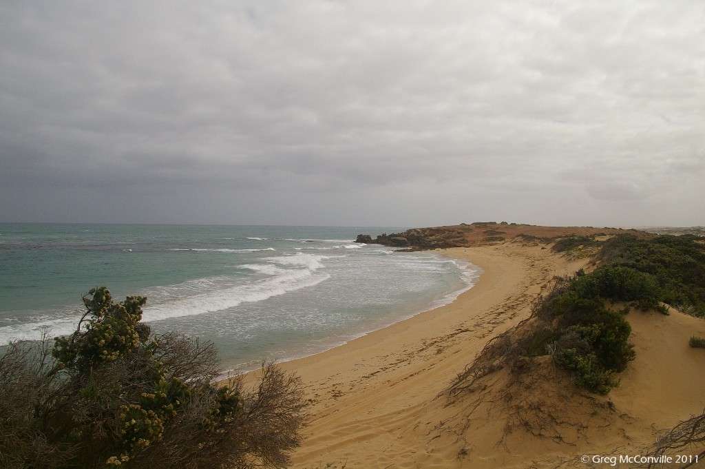
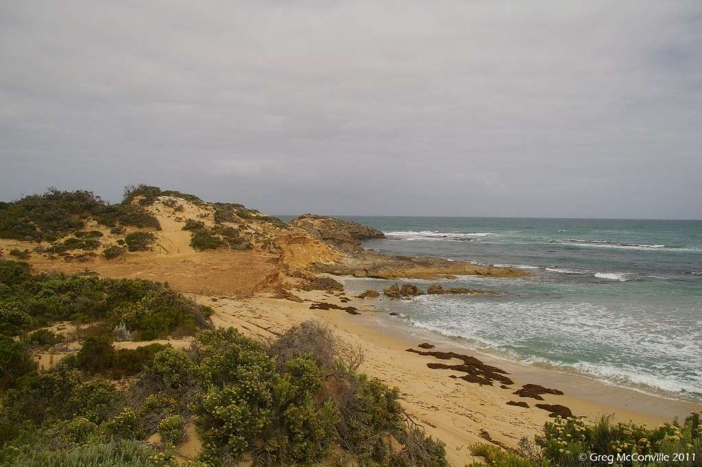
Loading was completed at around 4 pm on the 22nd of March, and from Melbourne the familiar route to Lwr Glenelg National Park was taken as far as Dartmoor.

The Glenelg is possibly Victoria’s best kept secret: mention it to someone and they’ll ask you if it’s in South Australia, probably because more people have heard of the Glenelg Tram to Glenelg Beach, than have heard of this river. At that point you could tell them that yes, you are going to camp in a caravan park in suburban Adelaide, and they would probably think nothing of it and the real Glenelg River would be left to those of us who appreciate it.
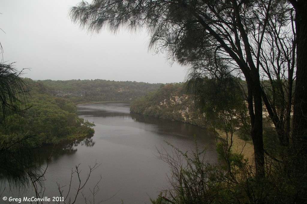
The truth is somewhat different. The Glenelg rises in the southern end of Victoria Valley in Gariwerd (Grampians), forms Victoria Valley Swamp, and cuts through the Victoria Range at the Camp of the Emu’s foot which is an important rock painting site and aboriginal shelter.
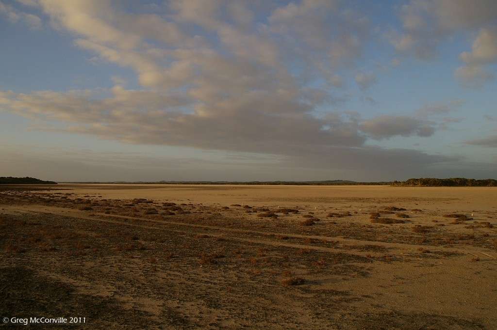
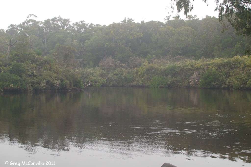
After having its flow interrupted by the massive Rocklands Reservoir, the Glenelg reaches the Southern Ocean some 400 kms by river from it’s source at Nelson. Along the way, the Glenelg flows through Harrow, Dergholm, Casterton and Dartmoor. The Lower reaches of the Glenelg have been set aside as a National Park, and feature a spectacular limestone gorge, stringy bark forest, river red gums, grass trees, creeks and a decent array of wildlife including 5 species of cockatoo. Yes, it is an absolute sh*t-hole and no-one should ever go there. If asked, you are going to Adelaide, right?
The river marks the territorial boundary between Gunditjmara and Buandik, clans and remains significant to their descendants today.
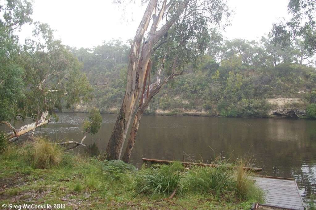
For the first time ever, in 20 years of visiting this part of the world, I was to camp on the northern side of the river, specifically at Redgum Landing. I had booked two nights there to chill out from the frantic exercise of leaving Melbourne, and it was a good idea.
It was a dark rainy night, and I thought it would be easy enough to find the track off Wanwin Rd to the camp; however I underestimated the distance to the turnoff and soon found myself on a firebreak track through the scrub. I knew that I would eventually find the correct track by proceeding ahead, and although I became concerned that I might find myself on the wrong side of a “management vehicles and walkers only” gate, I kept going because I had gone so far by that point that I was prepared to take the punt.
For want of a better expression, I was escorted by mobs of VERY large kangaroos. There have been two good breeding years and the numbers were up. I had to be very careful as there was not much opportunity for them to get off the track, so I had to be quite patient and let them go without further stressing them.
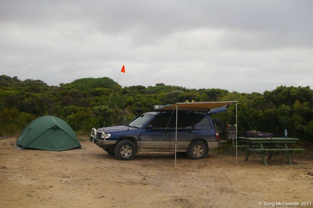
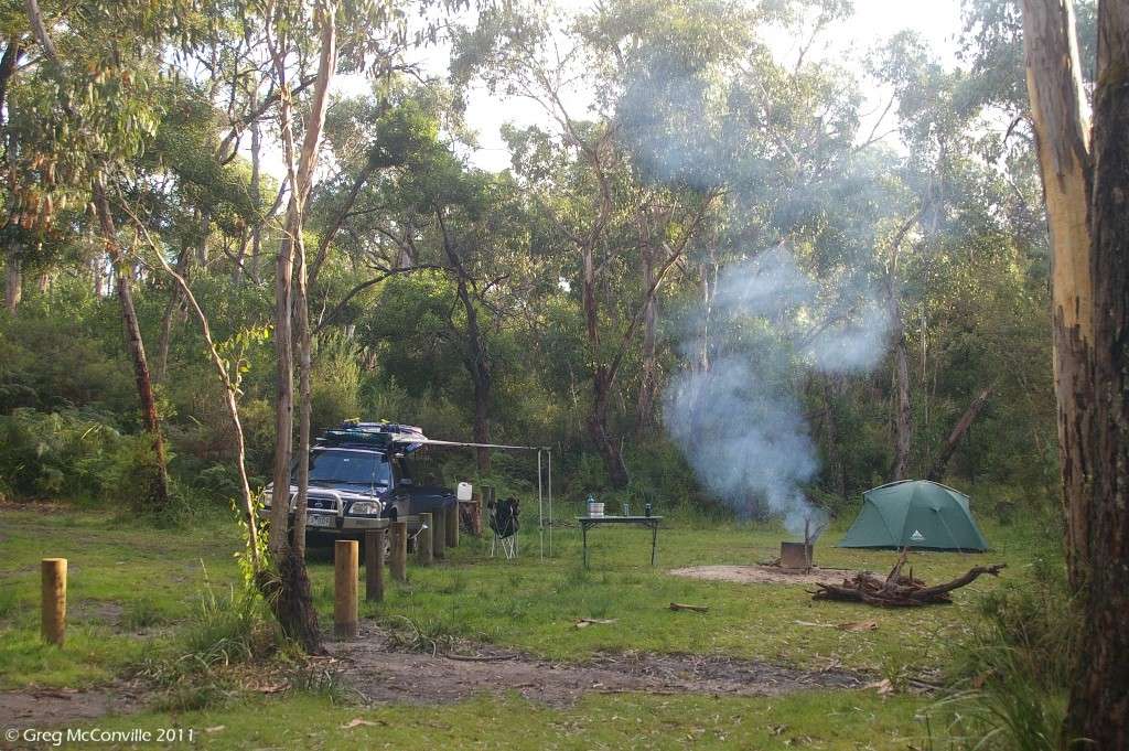
Anyway, about 30 minutes of unplanned offroading saw me in my new camp. I was set up and having a beer by 9.30 pm, tired but pleased to be on the road. I made good use of the awning on the vehicle to thwart the worst of the drizzle, but didn’t bother with a fire since it was still rather warm. The next morning the drizzle persisted, but it was still rather pleasant to be by the Glenelg, fittingly on the Buandik side of the river considering the country I was planning to travel through.
https://www.ausanthrop.net/resources/ausanthrop_db/detail.php?id_search=64
(...continued)
Well, it’s been some time since I returned from this trip, so here is the first installment of the long awaited trip report / journal.
This trip was a long time in the making. Many years ago, I had the pleasure of meeting Doc Reynolds and working with him on industrial relations matters affecting Aboriginal communities in Western Australia. This working relationship lasted a number of years, and saw many thousands of kilometres travelled by air and land, in many indigenous nations in Western Australia. Doc has always been extremely generous with sharing his knowledge with me, and I have been fortunate to learn much as a result.
Throughout this process, I never got to spend any time around where Doc lives and now works in Esperance, although many stories he has told me increased my appetite to learn about the place.
I rang Doc two years ago, not having spoken to him for quite a while. By chance he was in Melbourne at the time with his wife Robyne, attending a tourism expo on behalf of their business Kepa Kurl.
https://www.kepakurl.com.au/
We caught up for dinner, and I promised to come and visit them in Esperance the following March. Soon thereafter I was diagnosed as in need of spinal fusion surgery, so that made the trip out of the question that Autumn. I underwent surgery in July, and during recovery resolved to get over to Esperance the following autumn.
So, preparations started, and were in full swing when SKT put his heavily modified Subaru Forester on the market. I had up to that point planned to make some modifications to the red Subaru forester known as Djulpan (Gumatj word which means "seven sisters" (constellation). Also known as Pleiades in the North Hemisphere, and in Japan as "Su-baru". hence the logo on the front of any Subaru), but given that SKT had done the hard work, and a bit more by adding an EZ30r H6 motor, I made the trip to Queensland to test drive it and I bought it.
The story of me and the H6 Forester is a work in progress in this thread on offroad subarus.com
https://offroadsubarus.com/showthread.php?t=2401
The engine transplant thread is also worth a read...
https://www.ausubaru.com/forum/showthread.php?t=16564
So, it was time to load the vehicle, and this process started on the 20th of March 2011, with the addition of 55 litres of water, and storage for 40 litres of fuel (20 litres on the Jerry can carrier, and 2 x 10 litres on t the roof rack). Hand winch, winch cable, bull bag, jack plate, compressor, snatch ropes, tree protectors, D shackles, axe, saw, replacement globes, hoses and belts, tools, computer, GPS, MP3 player, telescope end fittings, camera gear, 2 cases of beer, 2 cases of wine, clothes, fridge, second battery, food and clothing and probably a lot of other **** I can’t remember right now.
Loading was completed at around 4 pm on the 22nd of March, and from Melbourne the familiar route to Lwr Glenelg National Park was taken as far as Dartmoor.
The Glenelg is possibly Victoria’s best kept secret: mention it to someone and they’ll ask you if it’s in South Australia, probably because more people have heard of the Glenelg Tram to Glenelg Beach, than have heard of this river. At that point you could tell them that yes, you are going to camp in a caravan park in suburban Adelaide, and they would probably think nothing of it and the real Glenelg River would be left to those of us who appreciate it.
The truth is somewhat different. The Glenelg rises in the southern end of Victoria Valley in Gariwerd (Grampians), forms Victoria Valley Swamp, and cuts through the Victoria Range at the Camp of the Emu’s foot which is an important rock painting site and aboriginal shelter.
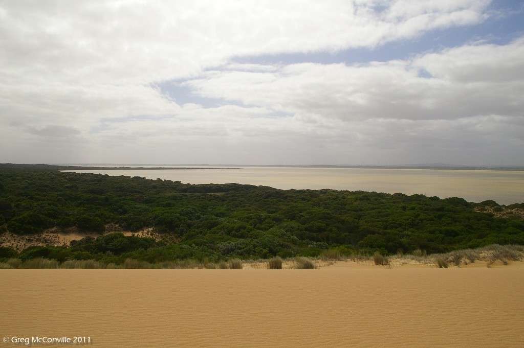
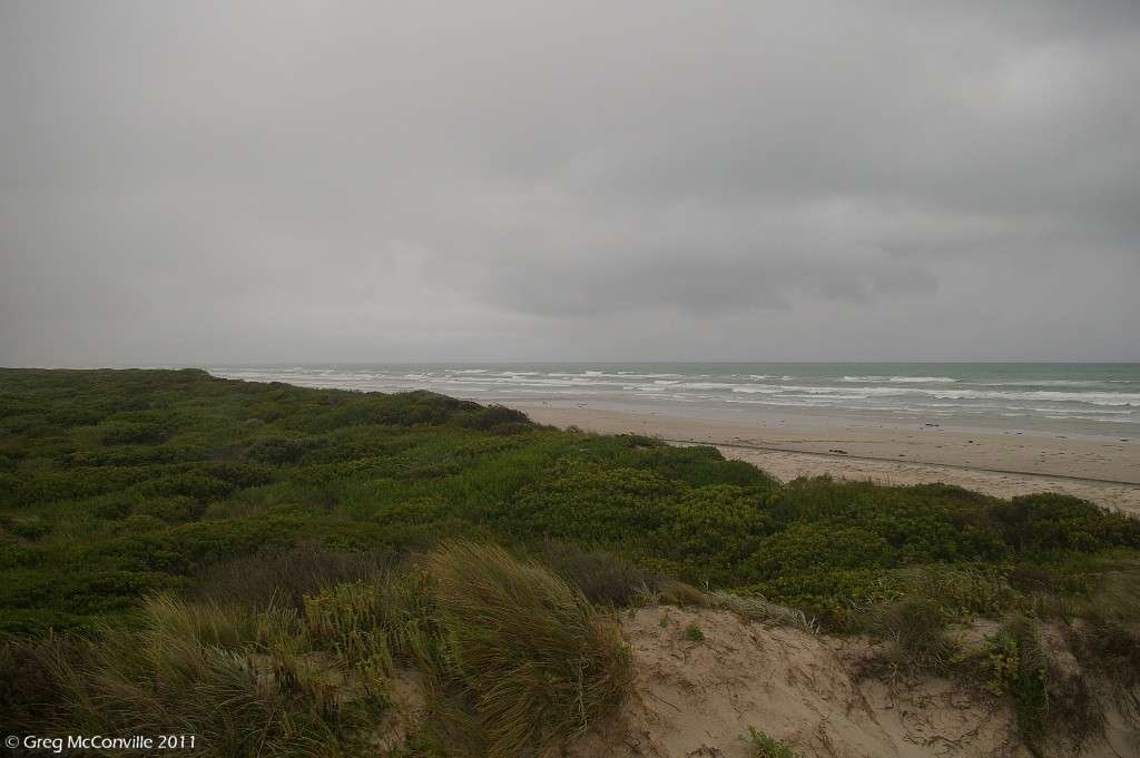
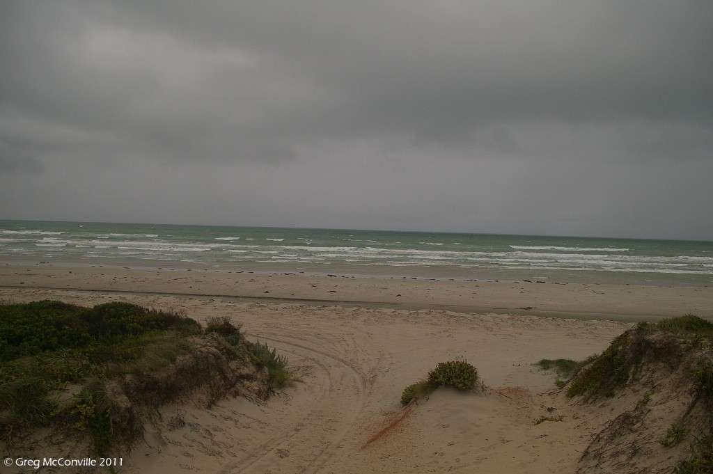
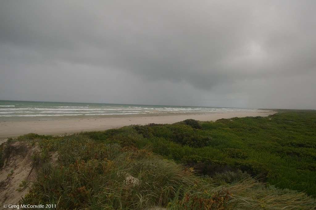
After having its flow interrupted by the massive Rocklands Reservoir, the Glenelg reaches the Southern Ocean some 400 kms by river from it’s source at Nelson. Along the way, the Glenelg flows through Harrow, Dergholm, Casterton and Dartmoor. The Lower reaches of the Glenelg have been set aside as a National Park, and feature a spectacular limestone gorge, stringy bark forest, river red gums, grass trees, creeks and a decent array of wildlife including 5 species of cockatoo. Yes, it is an absolute sh*t-hole and no-one should ever go there. If asked, you are going to Adelaide, right?
The river marks the territorial boundary between Gunditjmara and Buandik, clans and remains significant to their descendants today.
For the first time ever, in 20 years of visiting this part of the world, I was to camp on the northern side of the river, specifically at Redgum Landing. I had booked two nights there to chill out from the frantic exercise of leaving Melbourne, and it was a good idea.
It was a dark rainy night, and I thought it would be easy enough to find the track off Wanwin Rd to the camp; however I underestimated the distance to the turnoff and soon found myself on a firebreak track through the scrub. I knew that I would eventually find the correct track by proceeding ahead, and although I became concerned that I might find myself on the wrong side of a “management vehicles and walkers only” gate, I kept going because I had gone so far by that point that I was prepared to take the punt.
For want of a better expression, I was escorted by mobs of VERY large kangaroos. There have been two good breeding years and the numbers were up. I had to be very careful as there was not much opportunity for them to get off the track, so I had to be quite patient and let them go without further stressing them.
Anyway, about 30 minutes of unplanned offroading saw me in my new camp. I was set up and having a beer by 9.30 pm, tired but pleased to be on the road. I made good use of the awning on the vehicle to thwart the worst of the drizzle, but didn’t bother with a fire since it was still rather warm. The next morning the drizzle persisted, but it was still rather pleasant to be by the Glenelg, fittingly on the Buandik side of the river considering the country I was planning to travel through.
https://www.ausanthrop.net/resources/ausanthrop_db/detail.php?id_search=64
(...continued)
Last edited:


 Excellent, can't wait for the future installments.:ebiggrin: